LandCad Services is a Nagpur-based professional land surveying and geospatial solutions company delivering accurate, reliable and regulation-compliant survey outputs for infrastructure, government and private sector projects.

Boundary, topographic and layout surveys for infrastructure development.
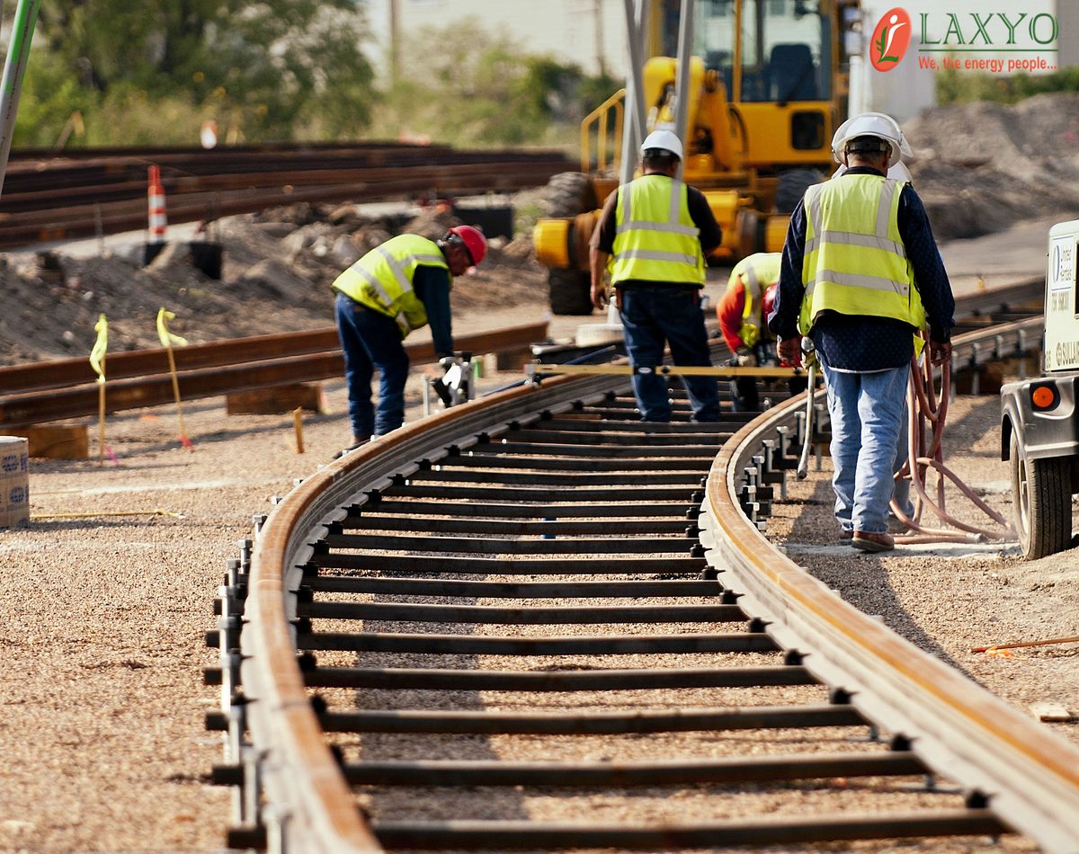
Alignment, asset mapping and corridor surveys for railway projects.

High-resolution aerial mapping, DSM/DTM and volume analysis.