Who We Are
LandCad Services is a professional land surveying and geospatial solutions
company based in Nagpur, Maharashtra. We deliver accurate, reliable and
regulation-compliant survey outputs for government, infrastructure and
private sector projects.
With strong field expertise and adoption of modern surveying technologies,
we support projects related to roads, railways, irrigation, mining,
industrial layouts and urban development.
Our Core Strength
- Precision-driven survey execution
- Timely project delivery
- Cost-efficient survey solutions
- Compliance with statutory & client standards
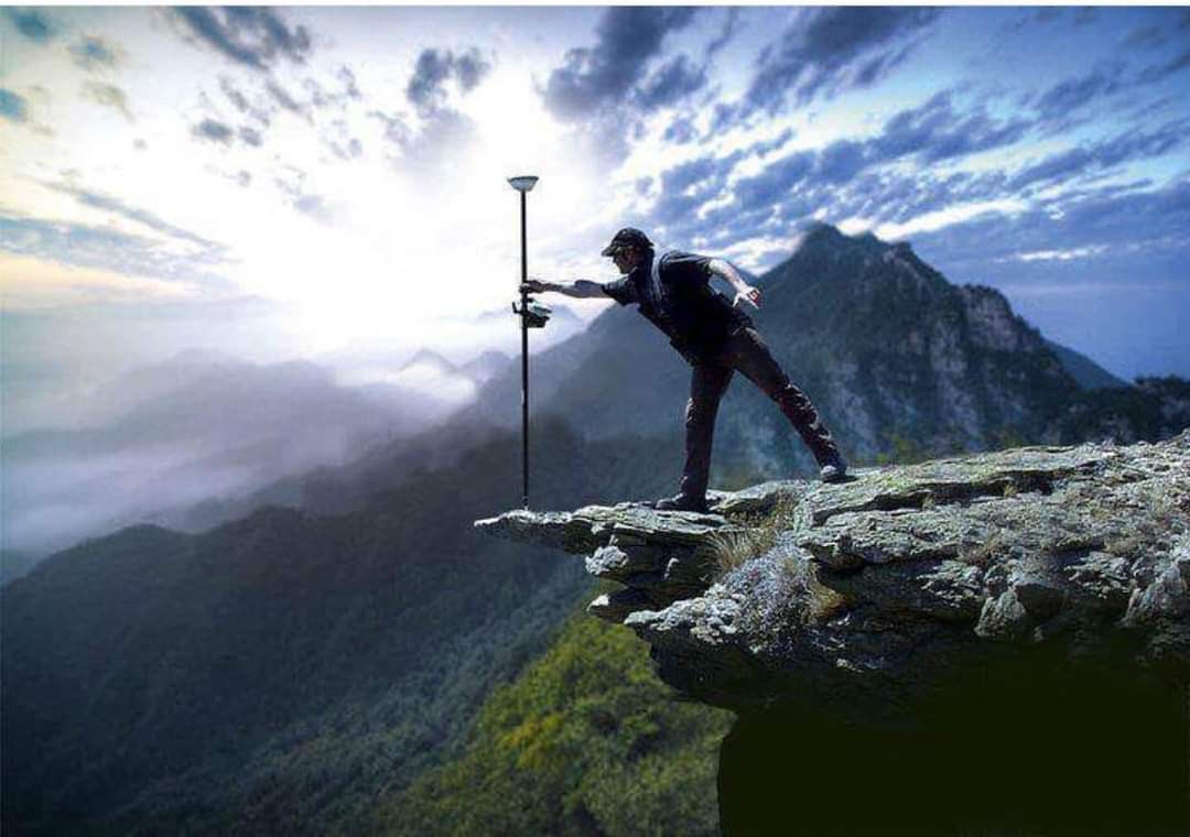
Instruments We Use
- Total Station (High-precision angular & distance measurement)
- DGPS / GNSS Systems
- UAV / Drone Survey Systems
- Auto Levels & Digital Levels
Software & Technology
- AutoCAD & Civil 3D
- GIS Platforms (QGIS / ArcGIS)
- Drone Data Processing (DSM / DTM / Orthomosaic)
- Survey Data Processing & Reporting Tools
Why LandCad
- Experienced field team with infrastructure exposure
- Combination of traditional surveying & modern geospatial technology
- Accurate deliverables with clear documentation
- Trusted by government bodies, contractors & private developers
Founder: Kunal Tidke
MBA – Operations Management